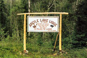
Travel Directions to Argyle Lake Lodge

Travel North on Highway 11 until you reach New Liskeard.
Take
Highway 65 West through Elk Lake to Highway 66.
Go West on Highway 66 through
Matachewan.
Take the bridge over the Montreal River to Highway 566.
Continue driving West for 14 miles (22 Km) on Highway 566 watching
for our signs.

Click here for a map of Matachewan, Ontario, Canada.
Use the following form to get driving directions
to Argyle Lake Lodge.
The MapQuest name and logo, and all related product and service
names, design marks and slogans are the trademarks or registered trademarks of
MapQuest or AOL Inc.
Aerial Map

Global Positioning System (GPS)
Co-ordinates
Enter these co-ordinates into your GPS to get to Argyle Lake
Lodge. We have included the co-ordinates to our Lodge in two popular GPS
grid formats for your convenience.
hddd°mm'ss.s - (degrees, minutes,
seconds, decimal seconds)
N 48°01'54.7
W080°51'16.2
UTM/UPS - (Universal Transfer
Mercator/Universal Polar Stereographic)
17 U 0510846
UTM 5319853
All Company Logo's and external web Links
property of their respective owners.
Argyle Lake Lodge is not responsible for linked content.
The MapQuest name and logo, and all related product and service
names, design marks and slogans are the trademarks or registered trademarks of
MapQuest or AOL Inc.


|